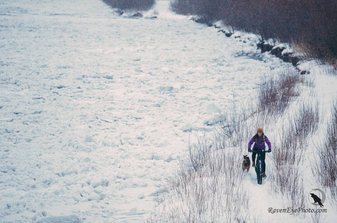
Photo: RavenEye Photography
Activities.
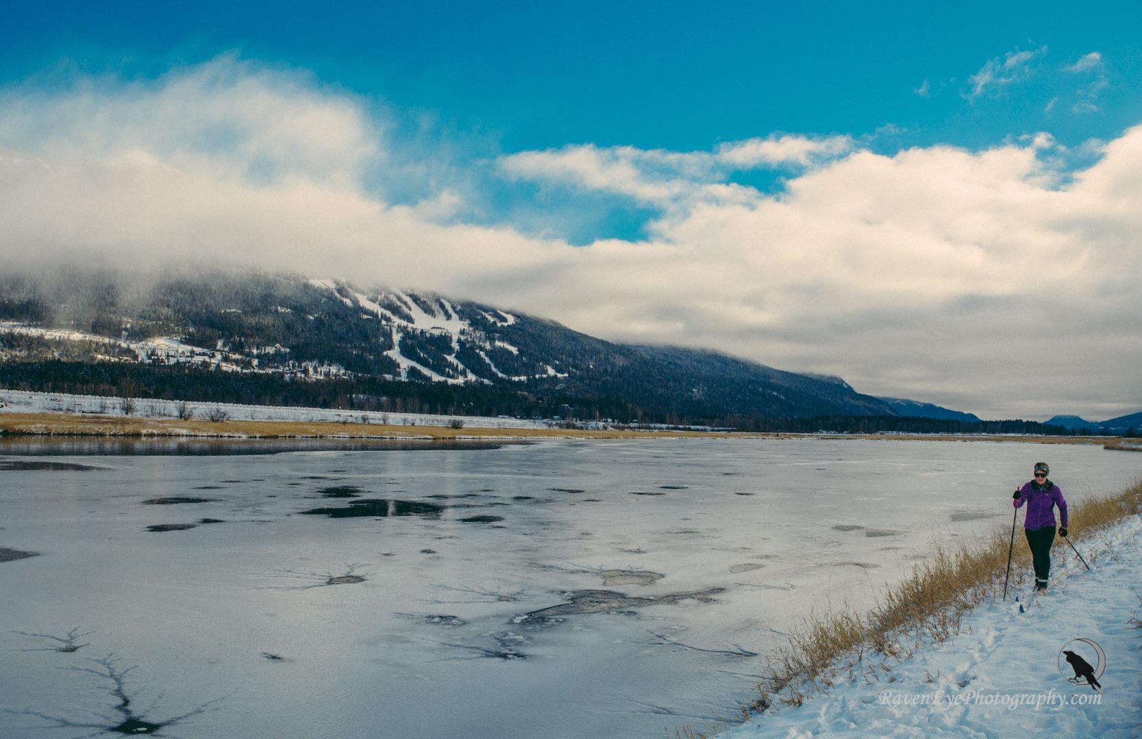
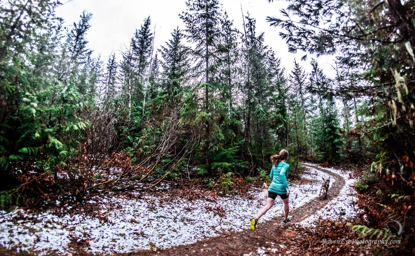
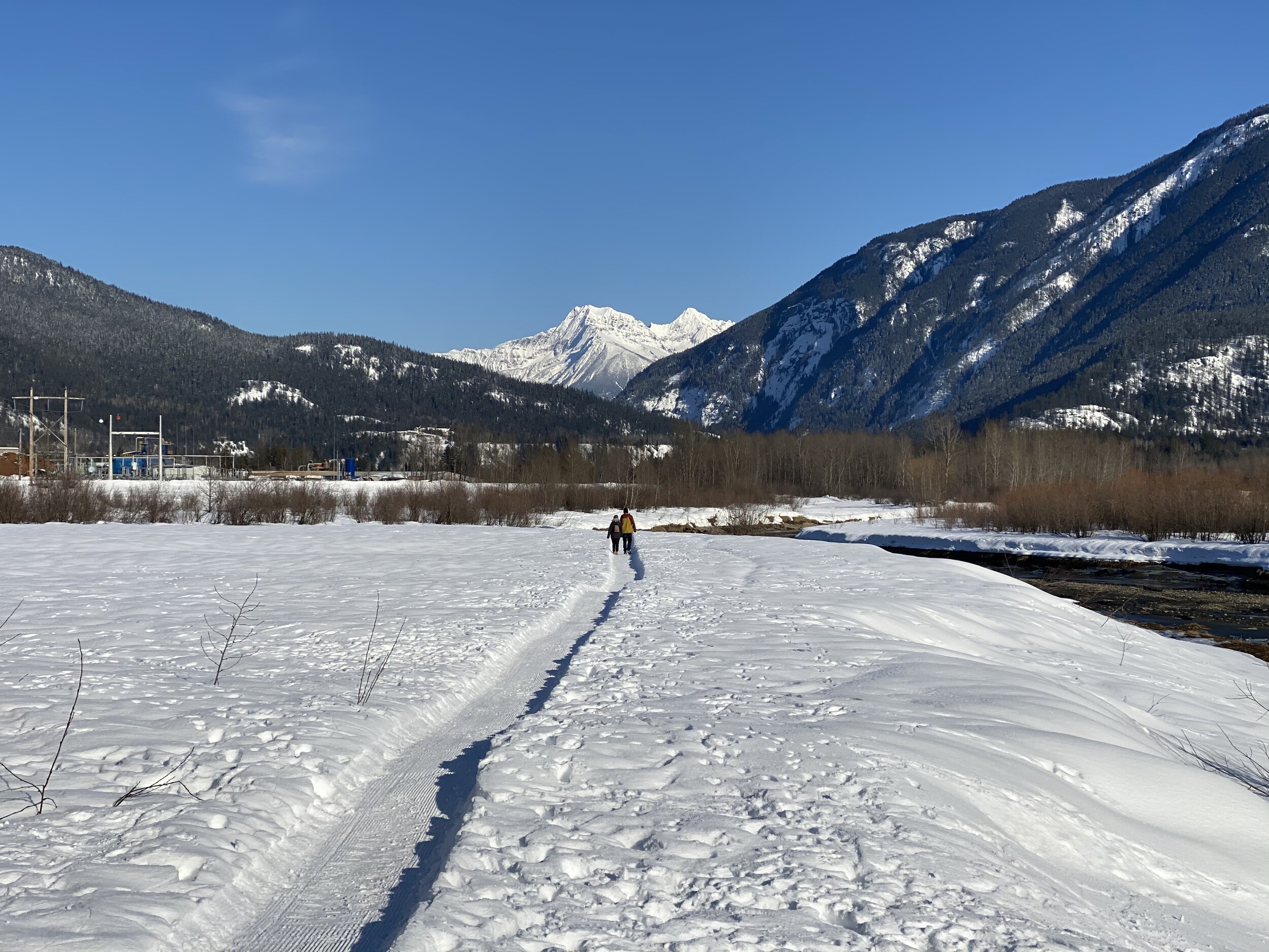
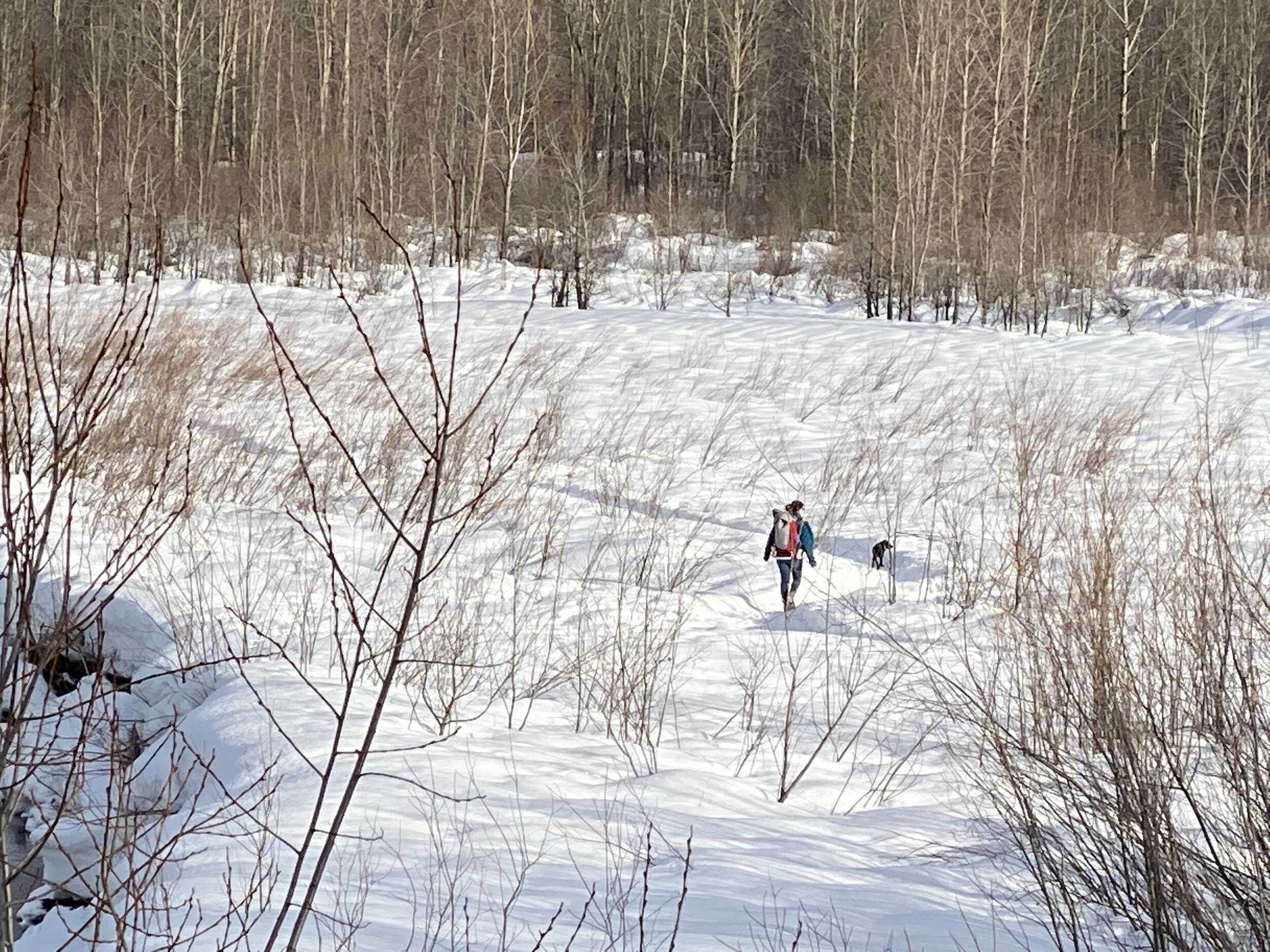
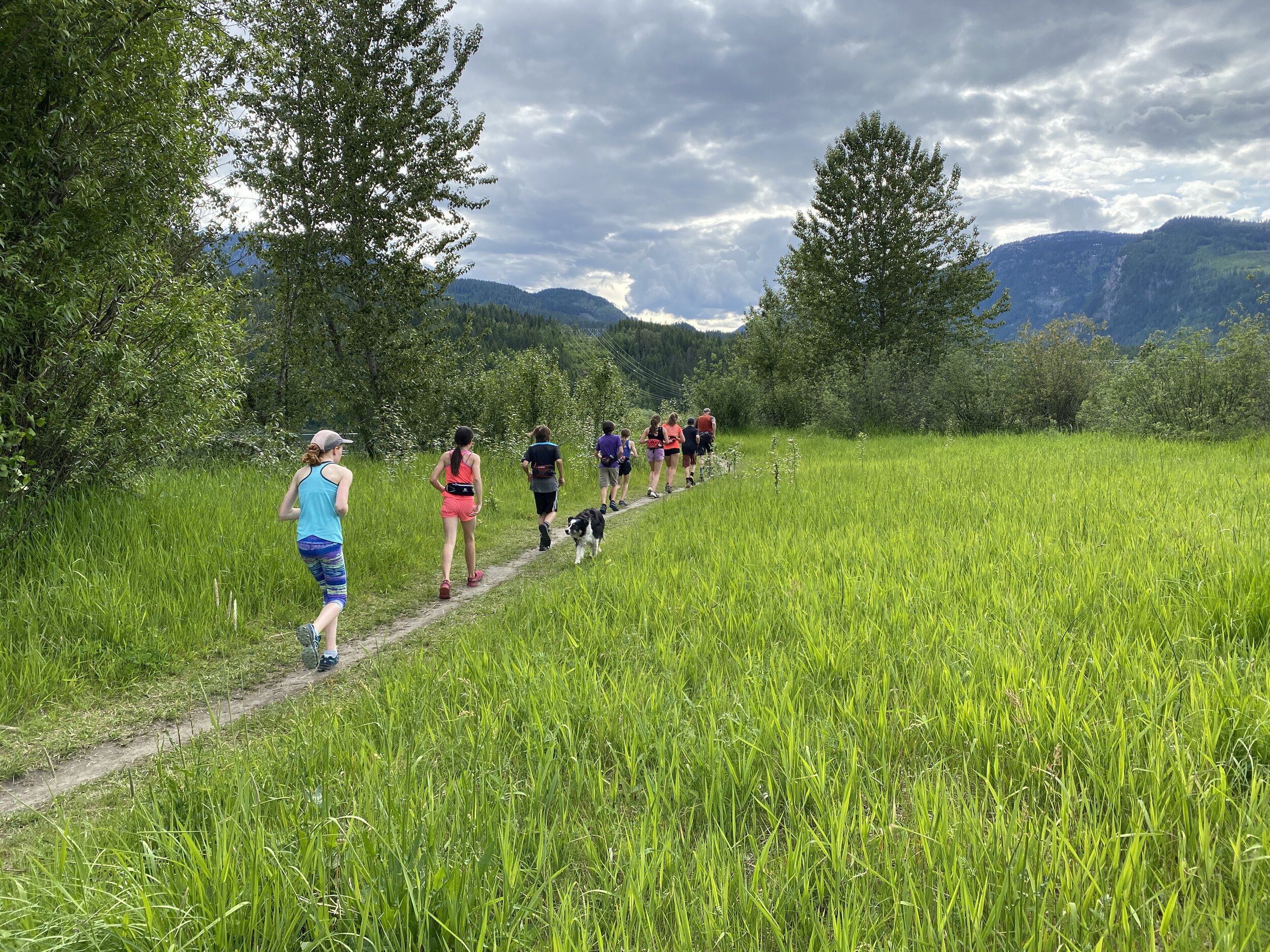
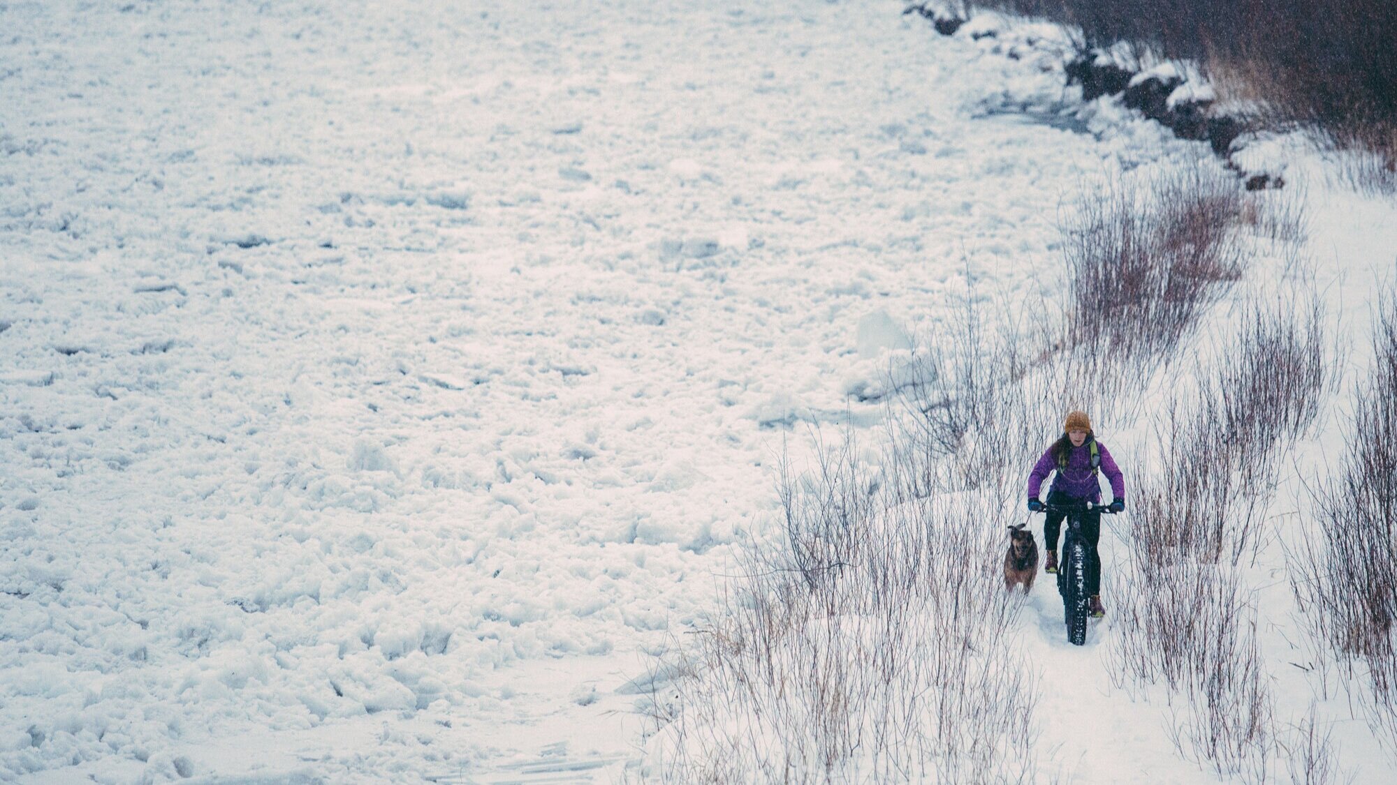
Take a walk, run, bike ride or enjoy the winter views on nordic skis. The Illecillewaet Greenbelt is open to activities all year round. Thanks to the tireless dedication of our volunteers, the walking, running, cycling trails are kept well maintained all summer and are groomed regularly during the winter. These trails give incredible access to the flats for walking, running, fat biking and nordic skiing (skate and classic) in the snowy months.
A winter grooming map is available to show you what has been groomed, when it was groomed and whether it was groomed for walking/biking or xc skiing. You can access the grooming map via Nordic Pulse!
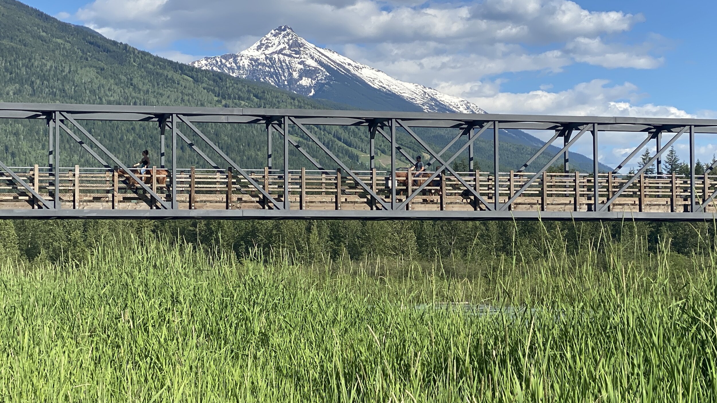
There are multiple ways to access the Illecillewaet Greenbelt and the Columbia River Flats: from the Centennial Park Greenway, Kovach Park or from either the north or south sides of the the Illecillewaet Bridge. All access points have parking available. It is also possible to access the Greenbelt from the Columbia River flats using the pedestrian footbridge over the Illecillewaet River. All of the recreational trails can be found on Trailforks.com, the map below for the Greenbelt Area or the Nordic Pulse Grooming Map.
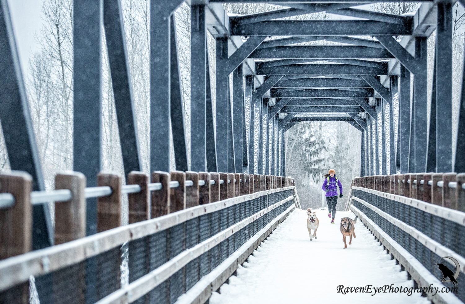
Dog Walking
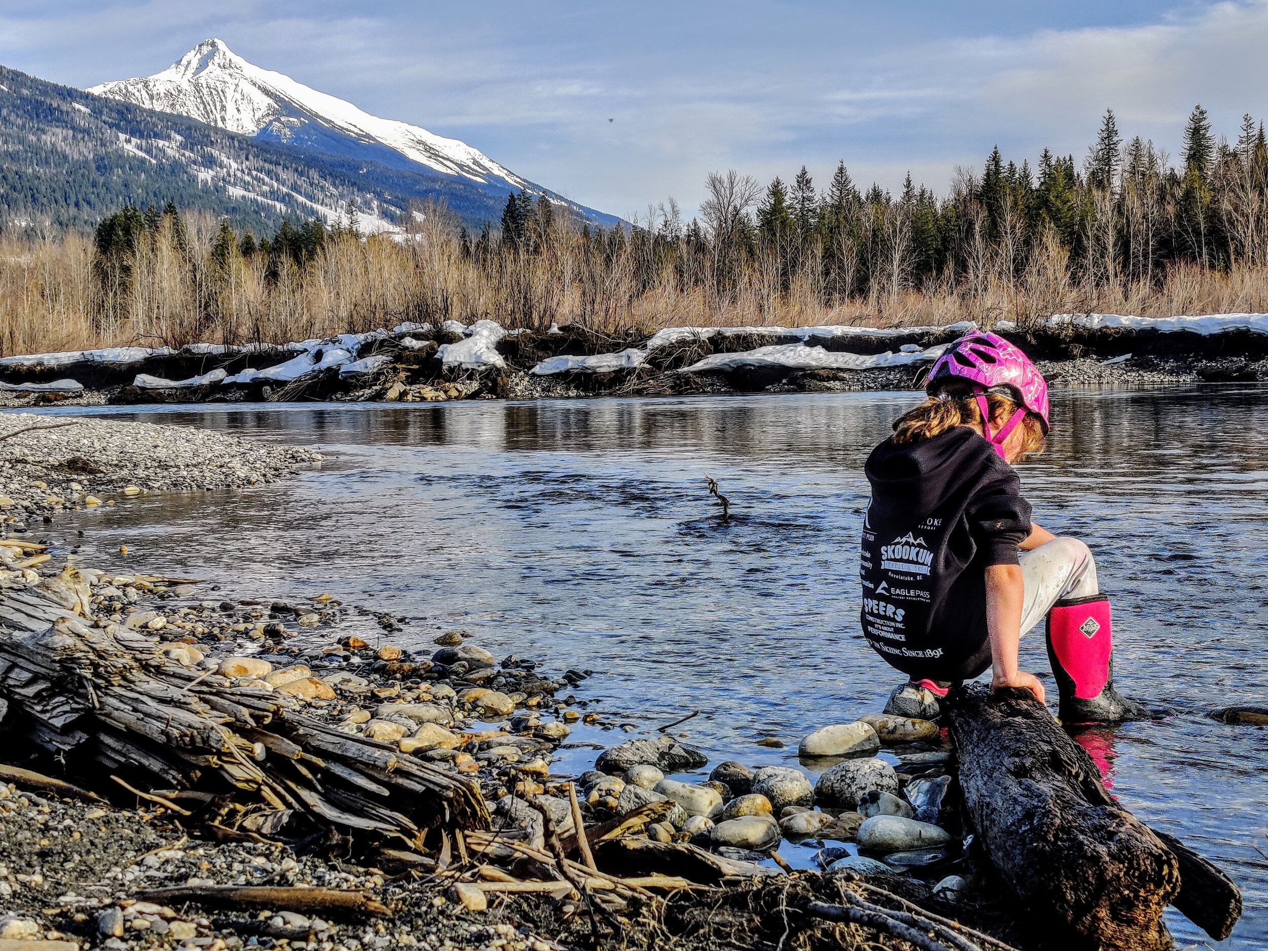
The Greenbelt Area and the Columbia River Flats are designated as off leash areas within the City of Revelstoke so we can enjoy them with our furry friends. At most access points there are bear proof garbage cans with provided dog bags and waste disposal receptacles to make cleaning up after your dog easy. Please make sure your dog remains under control and carry a leash with you in case you encounter any wildlife in the area. Remember there is no Poop Fairy so Please CLEAN UP AFTER YOUR DOG.
Non-Motorized Area
The Illecillewaet Greenbelt is home to non-motorized vehicles only. You may run, walk, ski, snowshoe, bike, ebike and use mobility scooters within the area - but please do not travel the area with any motorized vehicles.

Sketch Map of Illecillewaet Greenbelt, for online map checkout Trailforks.com , for the winter Grooming Map checkout Nordic Pulse
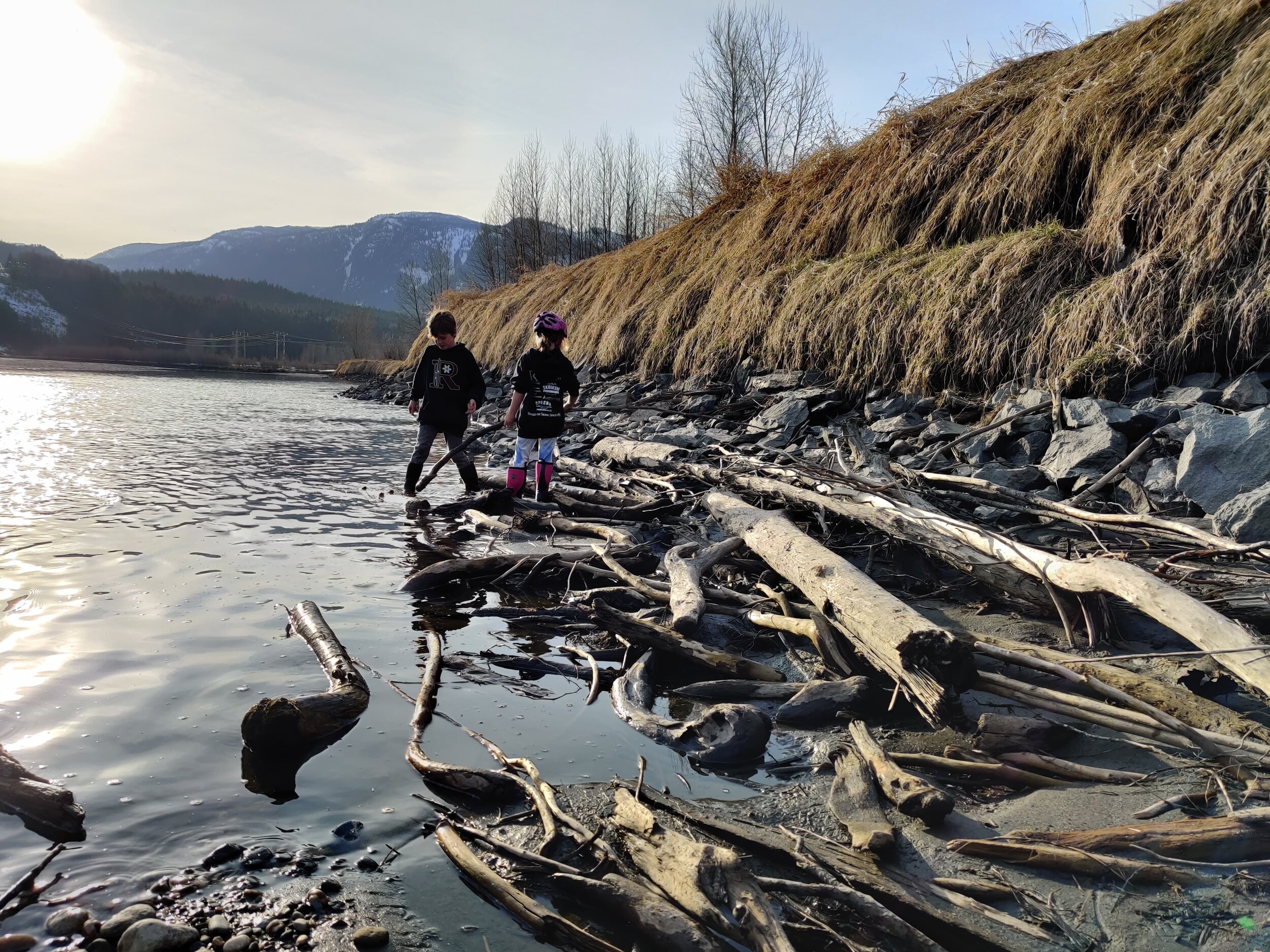
Why does the water level fluctuate?
The Illecillewaet Greenbelt and the Mark Kingsbury bridge provide access to the Columbia River flats, which are part of BC Hydro’s Arrow Lakes Reservoir.
This 230 km long reservoir was created when the Hugh Keenleyside Dam was constructed to bound the original Arrow Lakes and the Columbia River - and the area protected by the Illecillewaet Greenbelt Society sits at the northernmost point.
As a dam controlled reservoir, the water levels in the area are prone to regular flucuations, but forecasts are available from BC Hydro. If you want to stay in touch with local water levels, you can even subscribe to their email updates. Please keep in mind the potential for rapidly changing water levels while recreating in the area.